The Hennepin Canal
The Hennepin Canal, originally known as the Illinois and Mississippi Canal, was constructed between 1892 and 1907. It is a hand-dug canal that runs east to west from the Illinois River in Bureau Junction to the Mississippi River near Rock Island. A feeder canal runs from north to south between Rock Falls and a basin in Sheffield. The Hennepin Canal was listed on the National Register of Historic Places for its role as the first American canal built of concrete without stone-cut facings. Today, the original towpath for the canal has been converted to 155 miles of hiking trails that are part of the Hennepin Canal State Park System. A digital map of the park and its trails is provided at the link below. Make sure to visit the Hennepin Canal Feeder Trail Head, the historic Canal Overseer's House, the Rock River Feed Gates, and Lock 33 as part of your journey along the Lincoln Highway.
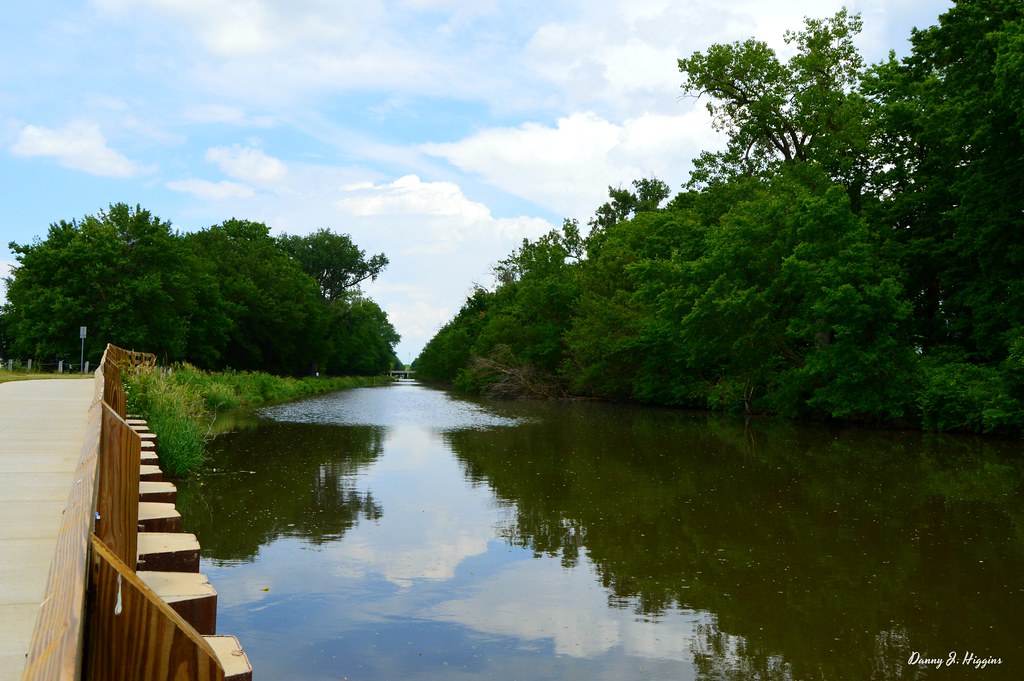
The Hennepin Canal
Heritage Corridor Destinations
701 Essington Road, Suite 100 Joliet, IL 60435 (844) 94-HCCVB (844-944-2282)
701 Essington Road, Suite 100 Joliet, IL 60435 (844) 94-HCCVB (844-944-2282)

References Credits and Acknowledgements Accessibility Statement
© 2026 Heritage Corridor Destinations and Illinois Department of Transportation / Bureau of Planning Grant Award. All rights reserved. Design and Development by J Rudny, LLC.